 xMap
Speed limits for each road segment
xMap matches your position to the exact stretch of road you are on and shows the limit for that stretch, not one number for the whole route.
xMap works out which road you are on, shows the speed limit for that exact stretch, and speaks up when you go over it or get close to a camera. Eyes on the road, hands on the wheel.
The Android and iOS versions are being finished. Download links will appear here once the app reaches the stores.
Features
Only what you actually need while driving. No ads covering the map.
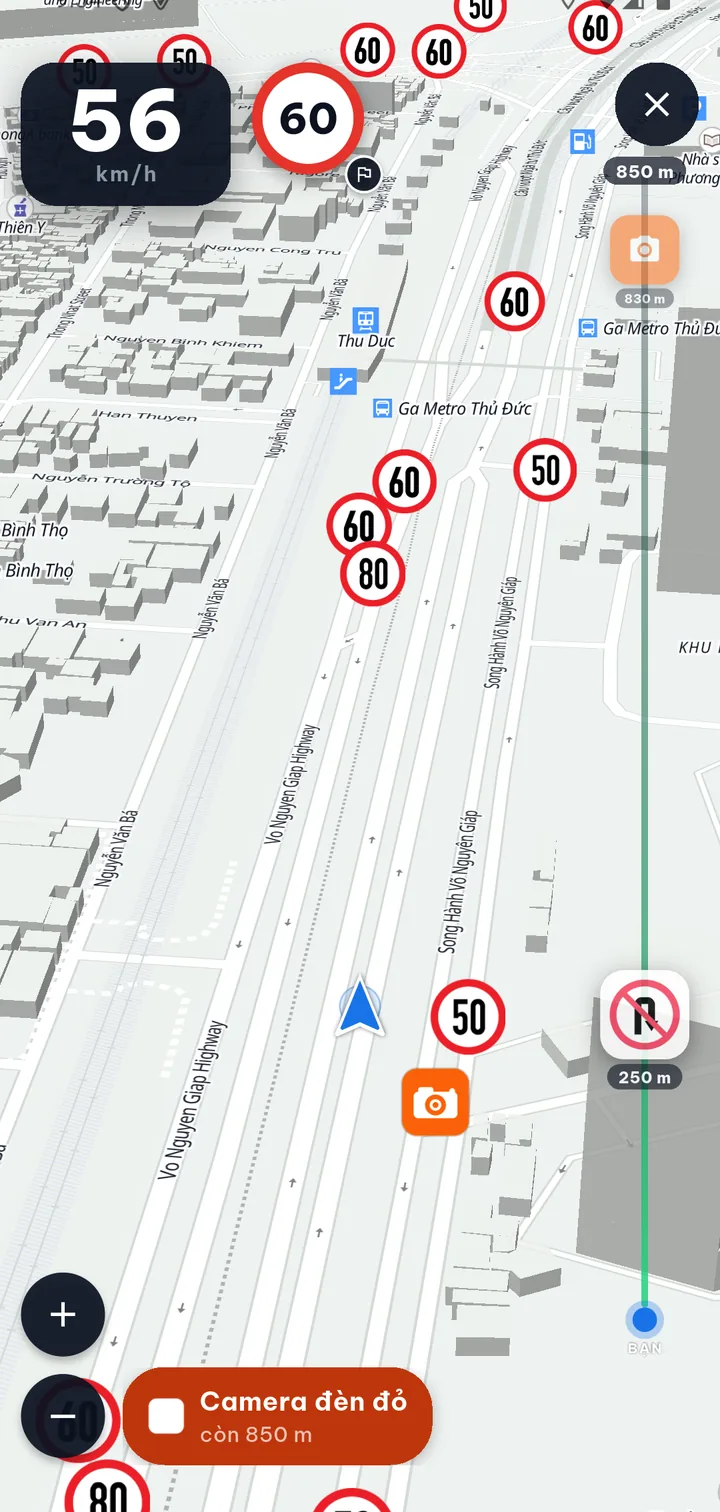
xMap matches your position to the exact stretch of road you are on and shows the limit for that stretch, not one number for the whole route.
When you go over the limit, approach a change in limit or get close to a camera, the app says it out loud so you do not have to look down at the screen.
See where the cameras are along your route ahead of time, so you can hold a steady speed instead of braking hard at the last moment.
Your phone's camera recognises road signs right on the device. Full-frame photos never leave your phone.
Signs you photograph are reviewed by our team before anyone else sees them. Every contribution brings the data closer to the signs on the actual road.
Pin the places you visit often or need to remember, and start directions to them with a single tap.
Real screenshots
Captured straight from the app, not recreated with graphics.
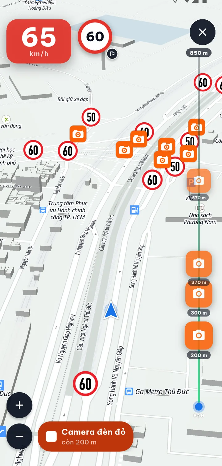
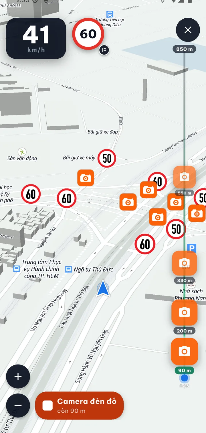
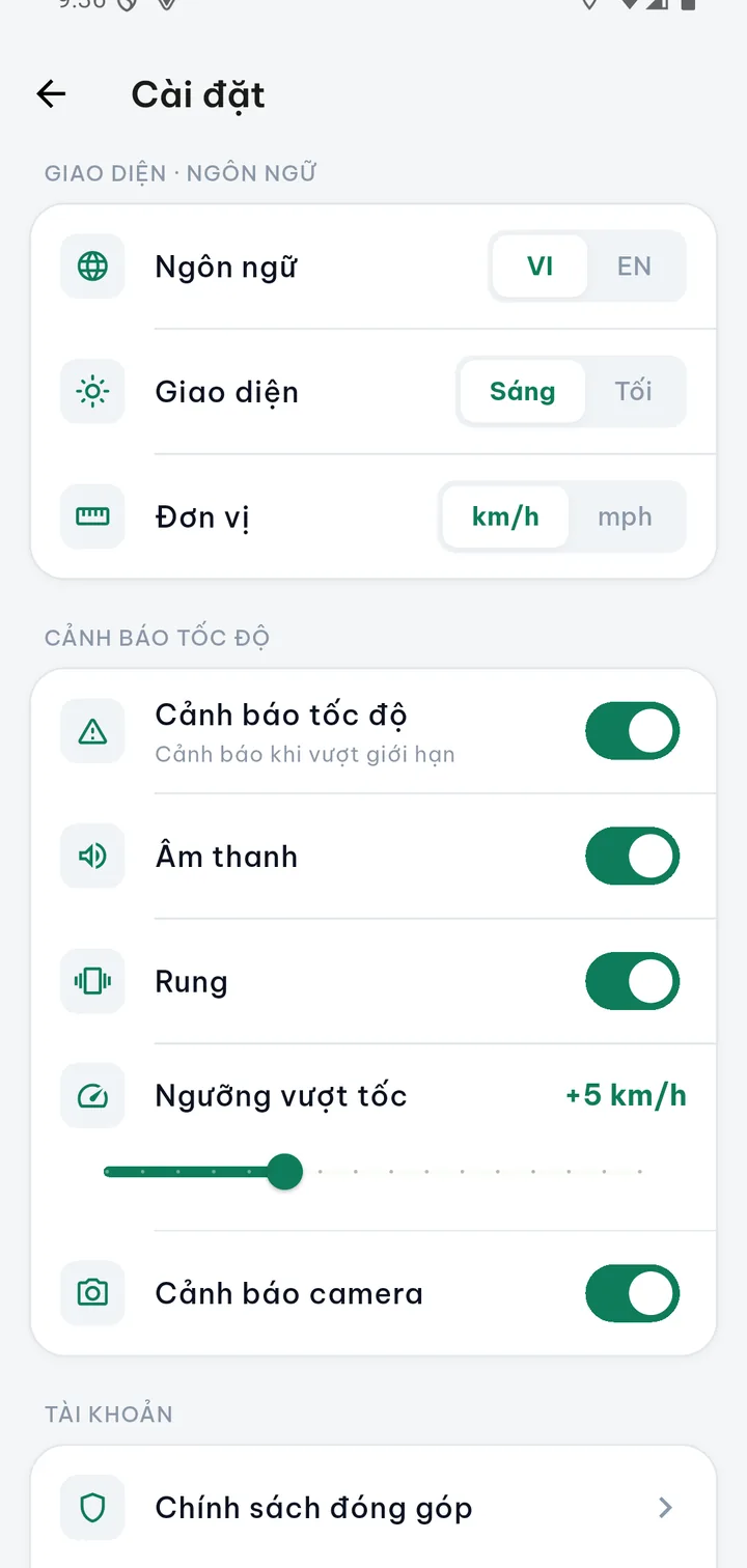
The screenshots come from a test build running on an Android emulator, with a simulated GPS route along Xa lộ Hà Nội (Hanoi Highway) in Thu Duc City, Ho Chi Minh City. The interface shown is in Vietnamese. The release version may look slightly different.
How it works
From GPS and your direction of travel, xMap works out which road segment you are on.
The app takes that segment's limit from reviewed road signs and the road type, then shows it right on the driving screen.
When you go over the limit, a change in limit is coming or a camera is close, xMap warns you with sounds and voice.
Q&A
xMap focuses on driving safety: speed limits for each road segment, speeding alerts, road signs and the cameras ahead, rather than only finding a route from A to B. You still drive your usual route, but you get timely reminders about what is happening right in front of you.
Speed data comes from OpenStreetMap combined with community contributions, so some road segments do not have a limit yet. In that case xMap does not guess; it leaves the limit blank to avoid a wrong alert. You can help by photographing signs when you pass those segments.
Yes. Road and sign data around the area you are driving in is cached on your phone, so speed and camera alerts keep working when you lose signal. Only new map areas (parts not yet downloaded) need a connection to download.
Sign photos you send are reviewed before they take effect. Once approved, a sign helps update the speed limit and alerts for everyone on the same road segment. We use the data only to improve the map.
xMap uses GPS and keeps the screen on while navigating, so it does use battery, about the same as other map apps. For long trips, plug in a charger so your phone stays ready.
Open Sign detection and point the camera at a sign by the road; the app recognises it and sends it after you confirm. The data goes through review before it is shown to other users.
Privacy
We write our policy to match exactly what the app does. Here are the key points.
Read the full policy →Coming soon
We are testing on real roads so the speed limit figures can be trusted before release. Check back here for the download links.